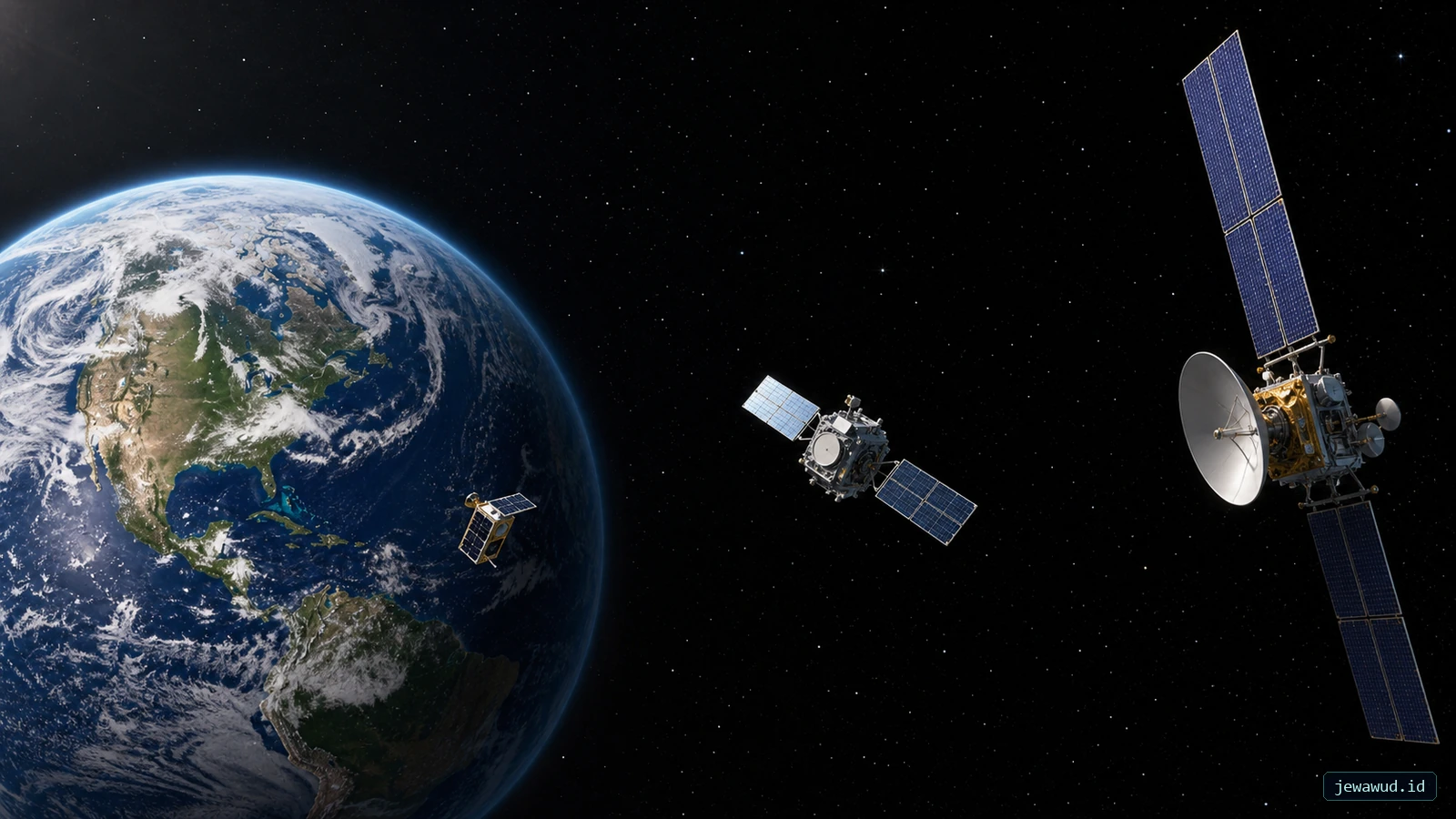
 Three mission classes at different altitudes; spacecraft size and distance are exaggerated, not drawn to scale
01Height Above Earth Is Not Distance From Its Centre
An altitude of 400 km measures height above a reference surface, not distance from Earth's centre. Orbital calculations need the latter. In the spherical model used below, r = R + h: add Earth's chosen radius R to altitude h. Confusing these distances produces a very different speed and period.
The examples use R = 6,378.137 km as a spherical radius and Earth's gravitational parameter mu = 398,600.4418 km3/s2. Actual geodetic altitude is measured against an ellipsoid, so a catalog value need not exactly match this simplified calculation. These are reproducible comparisons, not live satellite measurements.
 Verified radial scale: Earth radius and the 400 km, 20,200 km, and 35,786 km altitude markers share one continuous horizontal scale
02Three Heights, Three Different Rhythms
For a circular two-body orbit, v = sqrt(mu / r) gives speed in km/s, and T = 2 pi sqrt(r3 / mu) gives period in seconds. Divide T by 60 for minutes. Keep r in kilometres throughout.
At 400 km: r is 6,778.137 km, giving about 7.669 km/s and 92.56 minutes. At 20,200 km, the same calculation gives 3.873 km/s and 718.70 minutes. At 35,786 km, it gives 3.075 km/s and 1,436.07 minutes.
The higher orbit is longer, yet its spacecraft moves more slowly. Both effects increase the period. Raising an orbit still requires adding orbital energy; the final circular speed is not the same as the speed immediately after a transfer burn. NASA's orbit guide discusses this distinction.
 Calculated examples use a spherical Earth and circular orbits; the footprint is the maximum geometric horizon at zero-degree elevation, not an operational service boundary
03LEO, MEO And GEO Are Useful Labels, Not A Complete Orbit
LEO generally covers Earth orbits below about 2,000 km. MEO lies between LEO and the geosynchronous region. GEO denotes the special geostationary case: circular, equatorial, moving with Earth's rotation and matching its rotational period. A spacecraft merely passing through 35,786 km altitude is not thereby geostationary. ESA's orbit classification describes these families.
For a real navigation example, GPS.gov places GPS satellites near 20,200 km in six orbital planes. That height is one part of the design; the plane arrangement and satellite spacing are also needed for coverage. Do not identify an unknown satellite as GPS from its altitude alone.
04A Single Height Can Hide An Ellipse
Consider two hypothetical spacecraft currently at 400 km. One follows a circular orbit; the other is at the low point of an ellipse whose high point is 35,786 km. They share an instantaneous altitude, but not their speed, period or next destination.
For the ellipse, the semi-major axis is the average of the perigee and apogee radii, not the current radius. The period depends on that semi-major axis. Read both perigee and apogee before treating one altitude as the size of an entire orbit. For the same reason, an eccentric satellite briefly inside the LEO altitude band should not be mistaken for a circular LEO mission.
05Closer Does Not Automatically Mean Better
For the same camera optics and detector, moving closer can resolve finer ground detail, but the imaged swath also depends on the instrument's field of view. For a radio link, a shorter path reduces propagation time, but service still depends on antennas, link budget, terrain and network design. The geometric horizon in the comparison graphic is not a guaranteed usable footprint.
A lower orbit also encounters more atmospheric drag. Lifetime cannot be read from altitude alone: solar activity, mass, exposed area and spacecraft attitude matter. NASA's GDC Orbit Primer discusses these lifetime dependencies. “400 km means exactly this many years” would be an unsupported promise.
06Try A Three-Column Comparison In JOT
JOT (Jewawud Orbital Tracker) is the live orbital map. Choose an object and record its catalog ID, element epoch, altitude, speed and period. Use the satellite catalog to inspect its orbit shape and mission context. Keep the data timestamp with the numbers.
For a nearly circular Earth orbit, compare its period with the formula above. A small difference can reflect rounding, Earth models or perturbations; a large difference is a reason to check units, eccentricity and whether both displays use the same dataset. For an eccentric orbit, do not substitute instantaneous altitude into the circular formula.
Next compare a low-orbit object with a navigation satellite. Ask which has the longer period, not which marker looks faster on a zoomed screen. A frozen marker or failed data request is not evidence of a stationary spacecraft. For the separate question of why some satellites remain over one longitude, read the geostationary orbit guide.
Compare Height With Period
Keep the orbit shape and data epoch alongside each altitude you compare.
Open JOT