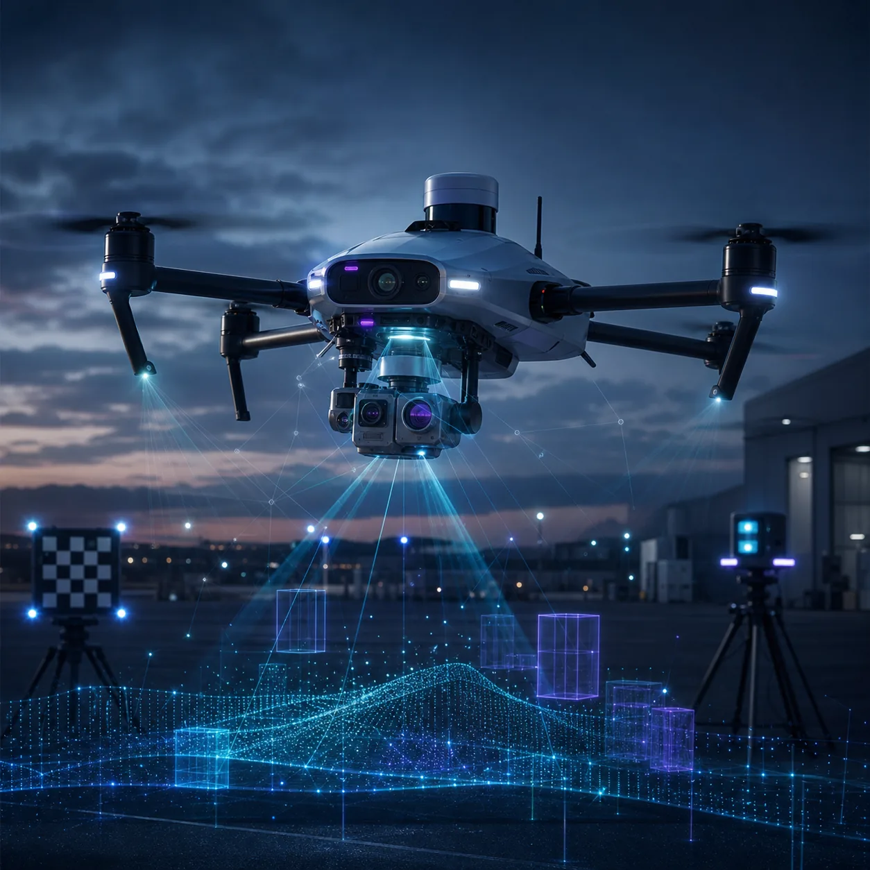
 Conceptual visualization of NOVA's multi-spectral autonomous navigation system
01Mission Statement
NOVA exists to solve one of the hardest problems in autonomous systems: how do you navigate when GPS is a luxury you can't afford? In contested environments, underground spaces, dense urban canyons, and beyond Earth's atmosphere, satellite-based positioning simply isn't available. NOVA replaces it with something better — eyes that actually understand what they're seeing.
Our system fuses data from multiple optical sensors — visible spectrum cameras, near-infrared imagers, thermal sensors, and LIDAR point clouds — into a unified scene representation. A custom deep neural network processes this multi-modal input in real time, detecting objects, estimating depth, tracking motion, and predicting trajectories — all at speeds fast enough to keep an autonomous UAV alive.
02System Architecture
Multi-Spectral Sensor Suite
Stereo RGB camera pair, near-infrared (NIR) sensor for low-light detection, LWIR thermal imager for heat-signature extraction, and solid-state LIDAR for precise 3D point clouds. Custom spectral filters from our Optics team maximize signal-to-noise.
Neural Fusion Engine
A custom multi-modal transformer that tokenizes inputs from each sensor and learns cross-attention. Unlike late-fusion, our model learns when to trust each sensor — thermal in smoke, LIDAR in darkness, RGB in clear conditions.
Edge Inference Pipeline
Trained in PyTorch, optimized via ONNX, deployed on NVIDIA Jetson Orin with FPGA co-processors. Full pipeline achieves 45 FPS at under 30W power — critical for battery-powered UAVs.
SLAM & Navigation
Visual-inertial odometry (VIO) integrated with neural perception outputs to build real-time 3D maps. Persistent occupancy grid with hybrid A*/RRT path planning optimized for dynamic obstacles.
03Performance
04Cross-Domain Impact
"NOVA is where our three research pillars converge: AI provides the intelligence, optics provides the eyes, and propulsion will provide the wings."
NOVA isn't just a standalone project — it's a proving ground for JPL's interdisciplinary approach. The sensor suite leverages metamaterial filters from PRISM research. The AI backbone pushes neural architecture design. Integration with propulsive platforms connects to IGNIS and AEGIS. Applications span search-and-rescue, infrastructure inspection, agricultural monitoring, and space exploration.
05Validation Plan
Dataset & Scenario Coverage
NOVA is validated against daytime, low-light, thermal, smoke-obscured, and GPS-denied navigation scenarios. The goal is not only high detection accuracy, but stable perception when one sensor becomes unreliable.
Edge Runtime Testing
Every model candidate is profiled on target hardware for frame rate, latency, memory pressure, and power draw. A model is not considered deployable until it holds real-time performance under sustained load.
Closed-Loop Flight Trials
The navigation stack is tested first in simulation, then on tethered or constrained UAV trials before moving into free-flight evaluations with conservative geofencing and manual override.
Failure Mode Review
Sensor dropout, false positives, reflective surfaces, thermal clutter, and rapid lighting transitions are treated as primary test cases, not afterthoughts.
06Deployment Roadmap
The near-term roadmap is to convert NOVA from a perception demo into a dependable navigation subsystem. That means tighter sensor calibration, deterministic model export, field-ready logging, and a clean interface to flight-control software.
The long-term path connects NOVA to AEGIS and IGNIS: perception informs guidance, guidance controls propulsion, and the entire system learns from measured mission data rather than idealized assumptions.
NEXTExplore Next
Want to contribute to NOVA?
We're looking for ML engineers, embedded systems developers, and UAV pilots.