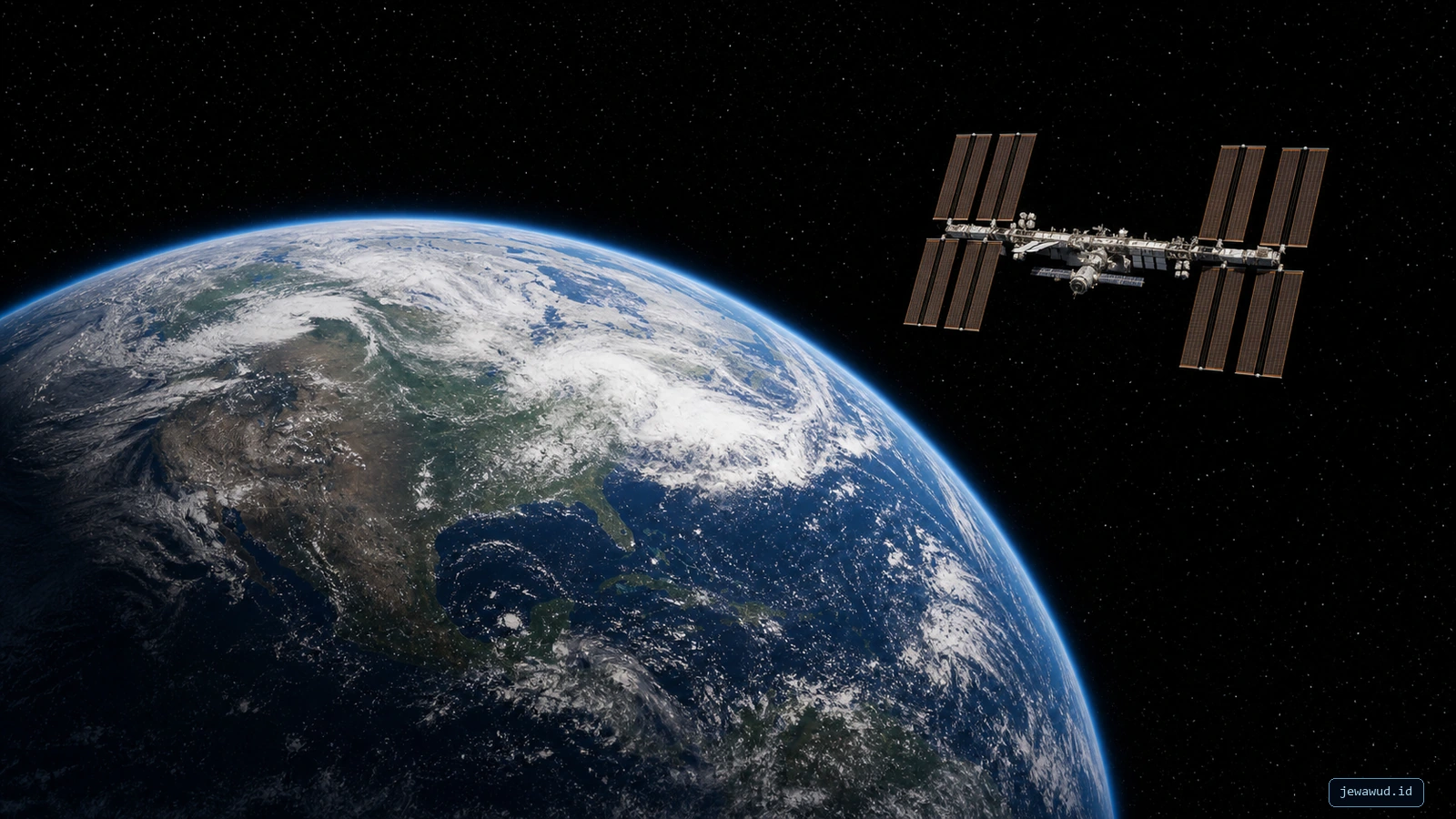
 Earth and the ISS introduce the orbital context; the technical diagrams below explain the propagation process
01The Missing Piece After TLE
A two-line element set, or TLE, is not a live coordinate. It is a compact description of an orbit at a reference time. To turn that description into a moving point on a map, software needs an orbit propagation model. For most public satellite tracking workflows, that model is SGP4.
SGP4 stands for Simplified General Perturbations model 4. In practical terms, it is the calculation layer between a TLE file and the satellite dot you see on a live map. If TLE is the recipe, SGP4 is the kitchen. Without it, a tracker has data but no reliable way to ask, "Where should this satellite be right now?"
02What Propagation Means
Orbit propagation means estimating the future or current state of an orbiting object from known orbital data. The output is usually position and velocity at a requested time. A tracker then converts that state into latitude, longitude, altitude, speed, ground track, and a visible marker on a globe or map.
The word "estimate" matters. SGP4 is not receiving real-time telemetry from every satellite. It is calculating a position based on a model and data. Good TLE data and correct timing can produce a useful public tracking result, but the position is still a prediction. Accuracy depends on data age, orbit type, atmospheric drag, maneuvers, and implementation details.
03Why SGP4 Became Common
SGP4 became common because it is compatible with the TLE format used widely for Earth-orbiting objects. The model is practical, fast, and good enough for many public visualization and observation tasks. A browser-based tracker can propagate thousands of objects without needing a full high-fidelity mission operations environment.
That efficiency is important. A live orbital map may need to update positions repeatedly as time advances. If every satellite required a heavy numerical simulation, the app would become slow and difficult to run on ordinary devices. SGP4 gives public tools a useful balance: more realistic than a simple Kepler ellipse, lighter than a precision flight dynamics system.
04What SGP4 Accounts For
A perfectly simple orbit would repeat forever, but real Earth orbits are disturbed. Earth's gravity is not perfectly uniform, and the upper atmosphere creates drag in low orbit. The SGP4 family uses analytical approximations rather than integrating every force numerically.
The standard implementation selects a near-Earth branch for orbital periods below 225 minutes and a deep-space branch for longer periods. Some SGP4 libraries identify these internal branches as method n (near-Earth) and method d (deep-space). The near-Earth branch emphasizes Earth's nonspherical gravity and simplified drag behavior. The deep-space branch adds long-period lunar-solar effects and resonance terms that matter for high-period objects. This regime distinction is important: not every perturbation shown in a general orbital-mechanics diagram belongs to the same branch of the model.
BSTAR is SGP4's fitted drag parameter, not a direct measurement of atmospheric density or a conventional spacecraft drag coefficient. Because it is estimated together with the TLE mean elements, it can also absorb limitations and errors in the simplified force model.
 The ISS example recovers a 92.9713-minute period, selects near-Earth method n, and outputs TEME position and velocity
05The SGP4 Pipeline
A typical tracker pipeline has several steps. First, the app loads the satellite name and TLE lines. Second, it parses the elements and checks the epoch. Third, it asks SGP4 for the satellite position and velocity at the current UTC time. Fourth, it converts the result from an Earth-centered coordinate system into latitude, longitude, altitude, and visible map coordinates.
If the app draws an orbit path, it repeats the same propagation at many time samples before and after the current moment. That is how it creates a line that belongs to the selected satellite. A correct orbit line is not randomly drawn around Earth; it is many propagated positions connected together.
The plot below is generated from CelesTrak's ISS (ZARYA) TLE for NORAD 25544, with epoch 2026-07-18 02:08:01 UTC. Its published TLE mean motion corresponds to a 92.9609-minute period. During SGP4 initialization, Satellite.js recovers a 92.9713-minute period and therefore selects near-Earth method n. The figure includes exact endpoints at 46.4856 minutes before and after the epoch, plus two-minute interior samples, so its total time span equals one recovered orbital period. At the epoch, the calculation gives approximately 417.4 km altitude and 7.664 km/s speed. These values document one reproducible TLE snapshot; they are not presented as live ISS telemetry.
The example uses Satellite.js's GMST-based TEME-to-geodetic conversion without external polar-motion Earth-orientation parameters. That is appropriate for this educational visualization, but it should not be presented as a precision ITRF orbit product.
This also explains why a clicked satellite should not disappear or produce an orbit path somewhere else. The selected dot, telemetry panel, and orbit line should all come from the same propagated object at consistent time samples. If those pieces disagree, the bug is usually in selection state, coordinate conversion, or rendering scale, not in the idea of SGP4 itself.
 Verified example: 49 Satellite.js samples span exactly one recovered period; the path is split correctly at the date line, and the Earth basemap is illustrative
06Accuracy And TLE Age
SGP4 can only be as useful as the data and assumptions feeding it. A fresh TLE for a stable object can produce a better public display than an old TLE for a maneuvering satellite. Space stations periodically reboost. Some satellites perform station keeping. Low objects feel atmospheric drag. Debris objects may have uncertain behavior. All of those factors affect confidence.
That is why a responsible tracker should show or consider TLE age. If the data is old, the dot may still look smooth, but smooth animation is not the same thing as accurate position. This is a subtle trap in web design: a beautiful moving globe can make estimates feel more precise than they are. Good telemetry and timestamping keep the user grounded.
07SGP4 Is Not GPS
It is easy to assume a live tracker is receiving exact positions from satellites. In most public TLE-based systems, that is not what happens. The tracker reads orbital elements and propagates them. The moving dot is a calculated estimate. It may be very useful for education, public awareness, pass prediction, and visual comparison, but it is not the same as operational navigation data.
This distinction protects users from overtrusting the display. If an app says a satellite is above a country at a specific timestamp, that statement is tied to the model, data source, and clock. It is not a permanent fact. The satellite keeps moving, and the data behind the prediction keeps aging.
08What Can Go Wrong In Apps
Many satellite map bugs happen after propagation, not inside SGP4. The app may calculate the correct position but convert coordinates incorrectly. It may mix degrees and radians. It may draw a line in one coordinate frame and a dot in another. It may apply Earth rotation at the wrong time. It may scale altitude visually in a way that makes low orbit look far too high or high orbit look too close.
For TLE-based propagation, the commonly accepted SGP4 output frame is TEME (True Equator, Mean Equinox). A tracker must transform that TEME position and velocity into an Earth-fixed frame such as ITRF/ECEF before converting it to geodetic latitude, longitude, and ellipsoidal height. GMST uses UT1, while polar-motion values improve the ITRF transformation; simply rotating a globe by an arbitrary visual angle is not equivalent.
The diagram below follows only one satellite position at one UTC time. It does not show an orbit. Its four panels show how the same position is expressed first in TEME, then aligned with Earth's rotation, corrected for polar motion in a precision transformation, and finally reported as latitude, longitude, and altitude.
Interaction bugs are also common. If clicking a dot hides it, the renderer may be replacing the selected satellite layer instead of highlighting it. If the orbit path appears in the wrong place, the sampled positions may not match the selected object or the globe orientation. If hover labels do not appear, the problem may be raycasting, hit radius, z-order, or event handling.
Understanding SGP4 helps diagnose these problems. Once propagation is separated from rendering, the developer can test each layer: parse TLE, propagate state, convert coordinates, render marker, sample orbit line, and update UI. This makes the tracker easier to debug and easier to trust.
 One satellite position is transformed from TEME to an Earth-fixed frame and then to latitude, longitude, and altitude; this diagram does not show an orbit
09How JOT Should Use It
In JOT (Jewawud Orbital Tracker), SGP4 belongs at the data engine level. The map should not invent orbit lines. It should propagate the selected object's TLE across a time window and draw the resulting path. The marker should be generated from the same current-time propagation. Telemetry should be calculated from the same state, then formatted for humans.
This gives the app a clean mental model. TLE is the source data. SGP4 is the propagator. Coordinate conversion turns the propagated state into Earth-relative values. Three.js or map rendering makes it visible. UI selection links the chosen object to callouts, labels, share cards, and orbit lines. When each part has a clear responsibility, bugs become less mysterious.
10When SGP4 Is Enough
SGP4 is enough for many educational and public tracking tasks. It is excellent for showing how satellite categories differ, where the ISS is estimated to be, how ground tracks work, why inclination matters, and how thousands of objects form shells around Earth. It is also practical for share cards, orbit previews, and learning tools.
It is not enough for every aerospace task. Collision avoidance, spacecraft operations, high-precision navigation, and mission-critical planning require more controlled data, validation, and operational methods. That does not make SGP4 weak. It means the model should be used for the right job. In public web tools, its strength is accessibility: it turns open orbital data into something people can explore.
FAQQuick Questions
Is SGP4 the same as TLE? No. TLE is the data format. SGP4 is the propagation model that calculates positions from that data.
Does SGP4 give exact satellite positions? It gives useful estimates for many public tracking purposes, but accuracy depends on fresh data, object behavior, and correct implementation.
Why do trackers use SGP4? It is fast, widely supported, compatible with public TLE data, and practical for browser-based visualization.
REFReferences
CelesTrak's NORAD TLE documentation is a useful starting point for understanding the data format used with SGP4: CelesTrak TLE Format.
The reproducible ISS diagram uses the CelesTrak GP endpoint for NORAD 25544: Current ISS TLE. The figure records the exact snapshot epoch instead of implying that a saved image remains live.
For a deeper technical treatment, see Vallado, Crawford, Hujsak, and Kelso's "Revisiting Spacetrack Report #3", commonly referenced by modern SGP4 implementations: CelesTrak SGP4 reference.
See SGP4 In Action
Open Jewawud's live orbital map and click a satellite. The dot, telemetry, and orbit path should all come from the same propagation chain.
Open Live Orbital Map