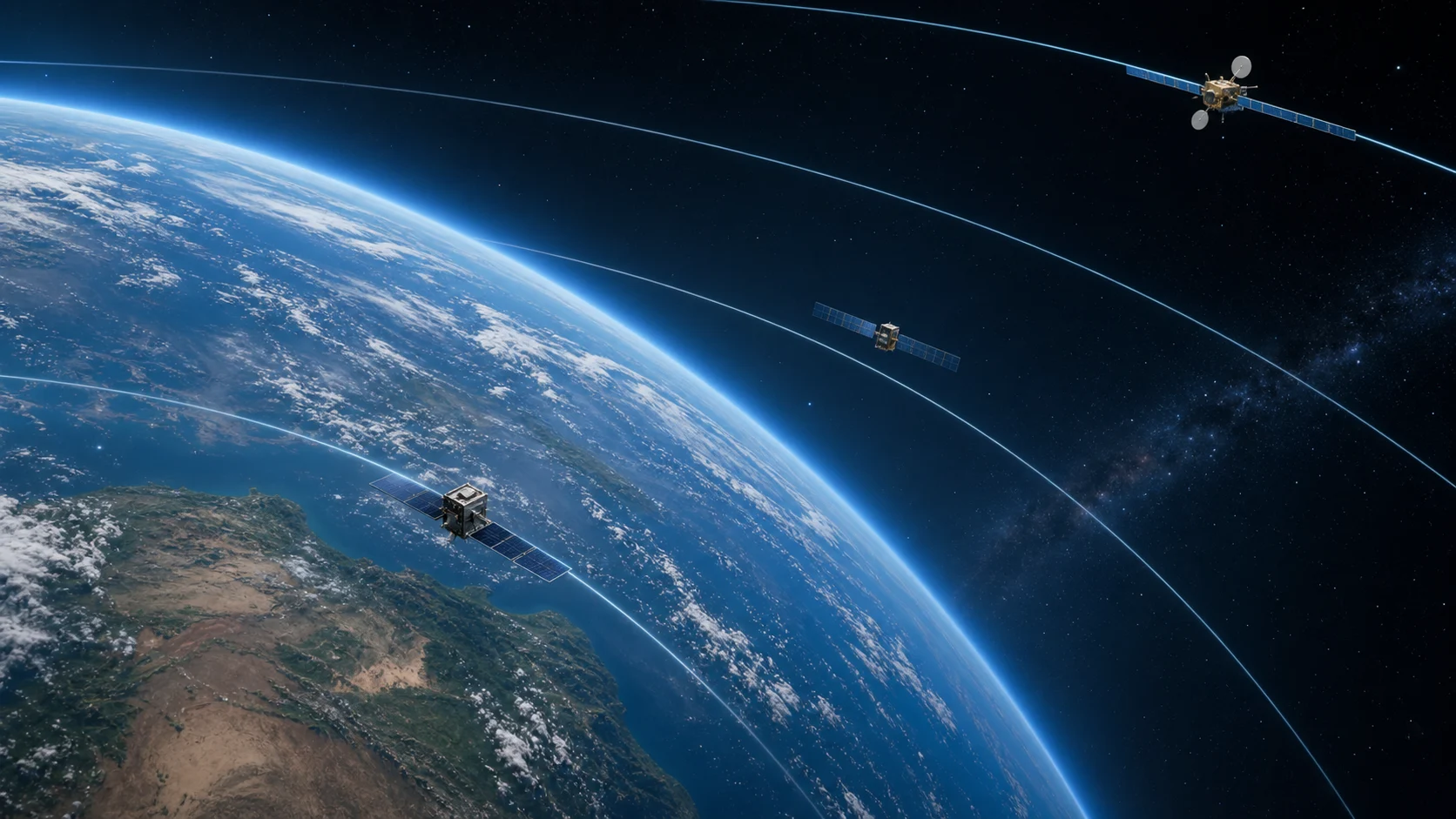
 Different altitude shells create different mission behavior
01Altitude Is A Mission Choice
Orbital altitude is the height of a spacecraft above Earth's surface. The number looks simple, but it shapes almost every part of a mission. A low satellite sees more detail but covers a smaller area. A high satellite sees a larger region but needs more energy to reach orbit and may have lower imaging resolution.
Altitude also changes speed and period. A low Earth orbit satellite may complete an orbit in roughly an hour and a half. A geostationary satellite takes about one sidereal day, matching Earth's rotation so it appears nearly fixed in the sky. Between those two extremes are many mission families with their own compromises.
02Low Earth Orbit
Low Earth orbit, often called LEO, is the region close to Earth where many crewed spacecraft, imaging satellites, weather satellites, and large constellations operate. The International Space Station is a familiar example. At these altitudes, satellites move quickly across the sky and complete many orbits per day.
LEO is attractive because it is comparatively easier to reach and supports low-latency communication and high-resolution observation. The downside is atmospheric drag. Even though the atmosphere is extremely thin at these heights, it is not zero. Drag slowly removes orbital energy, especially for lower satellites and large objects. That is why some spacecraft need reboosts and why debris can eventually reenter.
03Medium Earth Orbit
Medium Earth orbit sits above LEO and below geostationary altitude. Navigation systems often use this region because it provides wide coverage without requiring as many satellites as a low orbit constellation. A satellite in MEO moves more slowly around Earth than a LEO satellite and remains visible to a ground receiver for longer.
This is why navigation satellites form organized orbital planes. They are not placed randomly around the planet. Their altitude, inclination, and spacing are chosen so receivers can see enough satellites from many locations on Earth. In a tracker, MEO satellites look less frantic than LEO objects. Their motion is still real, just slower across the display.
04Geostationary Altitude
Geostationary orbit is a special case above the equator where a satellite's orbital period matches Earth's rotation. From the ground, the satellite appears to hover over one longitude. This is extremely useful for communications, broadcast, and weather observation because antennas can point in one direction instead of constantly tracking a moving target.
The altitude is high, so reaching it requires substantial energy. Signals also travel farther, which affects latency. But the benefit is persistent regional coverage. On a live orbital map, geostationary satellites should not race across Earth like LEO satellites. They should appear nearly stationary relative to the rotating planet.
05Altitude And Ground Track
A ground track is the path directly below the satellite on Earth's surface. Altitude affects how quickly that path moves and how much area the satellite can see at once. A lower satellite has a smaller visible footprint and a faster-moving ground track. A higher satellite has a wider footprint and slower apparent motion.
Inclination still matters. A satellite's altitude does not decide whether it passes over the poles or stays near the equator. Inclination controls the north-south range of the ground track. Altitude controls timing, speed, visibility, and coverage scale. A good tracker should show both values because they answer different questions.
06Altitude And Speed
One counterintuitive rule is that higher circular orbits move more slowly. A spacecraft must gain energy to climb to a higher orbit, but once there, its circular orbital speed is lower. This surprises many beginners because higher altitude feels like it should mean more speed. Orbital mechanics does not follow road intuition.
For visual apps, this matters. If altitude increases, the satellite marker should not automatically look faster. A low satellite can whip around Earth quickly, while a high satellite may drift. When telemetry says altitude, velocity, and period, those numbers should feel connected. If they fight each other visually, users lose trust.
07Choosing The Right Orbit
Mission designers choose altitude based on the job. Earth observation may prefer LEO because detail matters. Navigation may prefer MEO because global geometry matters. Communications may use LEO for low latency or GEO for fixed coverage. Science missions may choose unusual orbits that support thermal stability, lighting, or repeated views of a target.
There is no single best altitude. Every orbit is a bargain between launch energy, coverage, revisit time, lifetime, drag, radiation, latency, and cost. That is why an educational app should avoid treating altitude as a simple slider with only "higher is better" logic. Higher is different, not automatically better.
08Reading Altitude In JOT
In a live orbital map, altitude helps users understand what kind of satellite they are looking at. A few hundred kilometers suggests a LEO object. Around twenty thousand kilometers suggests navigation class orbits. Geostationary altitude sits much farther out. The exact categories can vary by source, but the relative scale teaches the most important idea.
When a user clicks a satellite, altitude should sit near velocity, inclination, and period. Together, those numbers tell a compact story. A dot is no longer just a dot; it becomes a spacecraft in a specific orbital regime. That is the moment a tracker becomes educational instead of decorative.
09Scale Is The Hard Part
Altitude is difficult to visualize because space is enormous compared with a screen. If a globe is drawn at true scale, low Earth orbit hugs the surface so tightly that users may barely see the difference between atmosphere and orbit. If the app exaggerates altitude too much, satellites can appear farther away than they really are. Both choices can be useful, but the interface should be honest about what it is doing.
A good educational visualization often uses two layers of truth. The first layer is numeric truth: the altitude value, velocity, period, and inclination should be calculated correctly. The second layer is visual truth: the drawing should preserve relationships clearly enough for humans to learn. Sometimes that means exaggerating orbit height while keeping labels accurate. Sometimes it means using a close-up camera for LEO and a wider camera for GEO.
This matters on mobile screens. A low satellite at 400 km, a navigation satellite above 20,000 km, and a geostationary satellite near 35,786 km cannot all be shown at the same perfect visual scale while also keeping Earth readable, labels legible, and controls usable. The design decision should serve comprehension. The app can say, in effect, "this is the correct altitude, and this is a readable view of it."
For readers, the safe habit is to trust the telemetry first and the diagram second. The diagram is the map; the number is the measurement. When both support each other, the experience becomes intuitive. When they disagree, the user should ask whether the view is zoomed, exaggerated, filtered, or simplified.
10Altitude As A Filter
Altitude is one of the fastest ways to make a satellite catalog understandable. If a user selects only low orbit objects, the map becomes a fast-moving shell close to Earth. If the user selects navigation satellites, the rhythm changes. If the user selects GEO objects, the dots should cluster near longitudes rather than racing across the planet.
That filtering is useful for education and performance. It helps the app avoid showing every object at once, and it helps readers see orbital families. Instead of memorizing definitions, users can compare behavior. A good article introduces the categories; a good app lets people feel the categories through motion.
For SEO and user learning, altitude articles should always answer the next natural question: what does this number change? The answer is speed, period, visibility, drag, coverage, and mission design. That makes the topic useful even for readers who arrived through a simple search.
FAQQuick Questions
Does higher altitude mean faster? In circular orbit, no. Higher orbits usually have lower orbital speed and longer periods.
Why do LEO satellites reenter? Thin atmospheric drag slowly removes energy, especially at lower altitudes.
Why do GEO satellites appear fixed? Their orbital period matches Earth's rotation and they stay near the equatorial plane.
Compare Altitudes In JOT
Open the orbital map, switch categories, and compare how altitude changes period, speed, and ground track behavior.
Open Live Orbital Map